Flourish – Growing to 100K
Thank you to all our participants. St. Albert City Council approved Flourish: Growing to 100K on April 19, 2021. For further info visit stalbert.ca/mdp
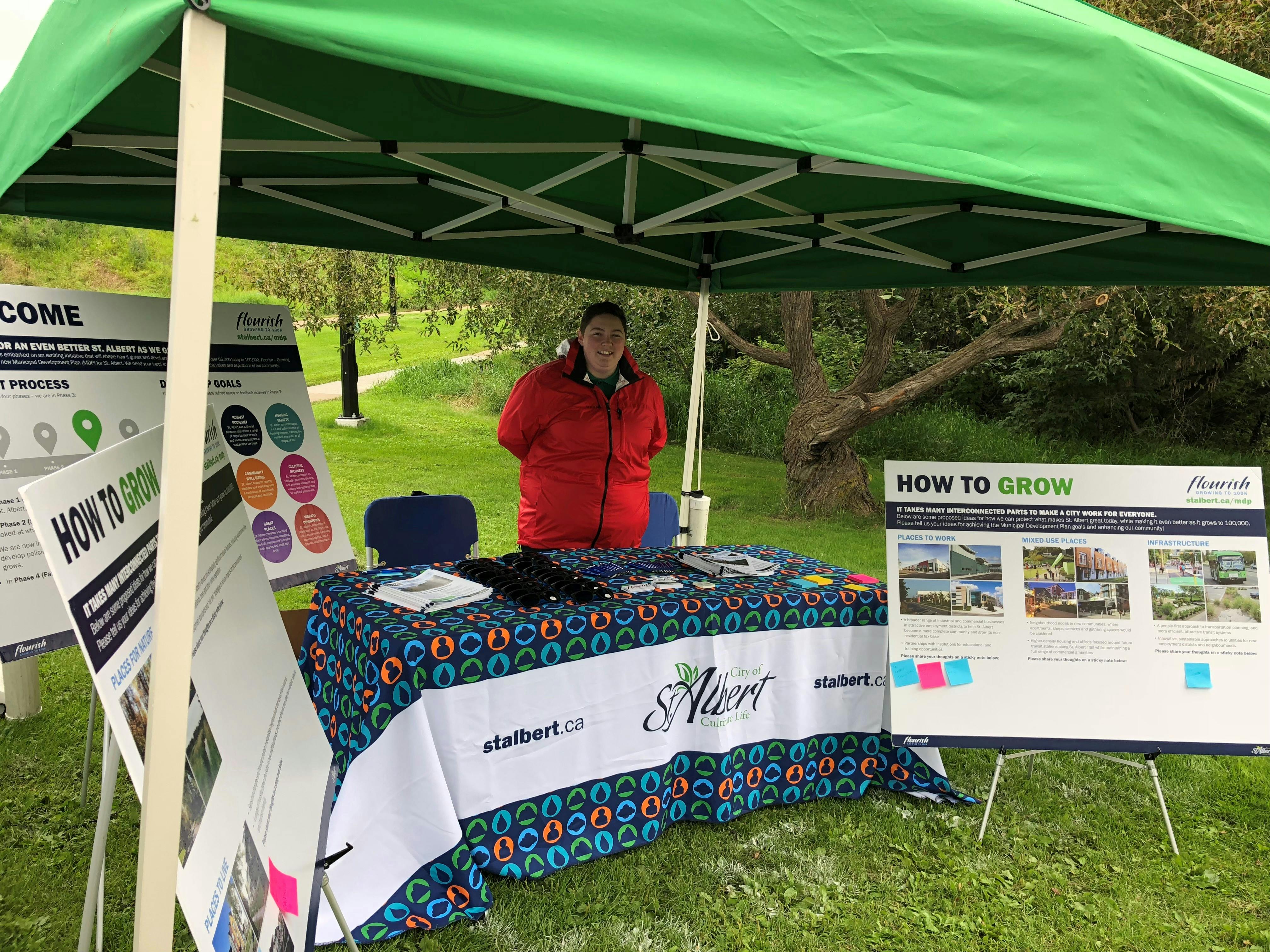
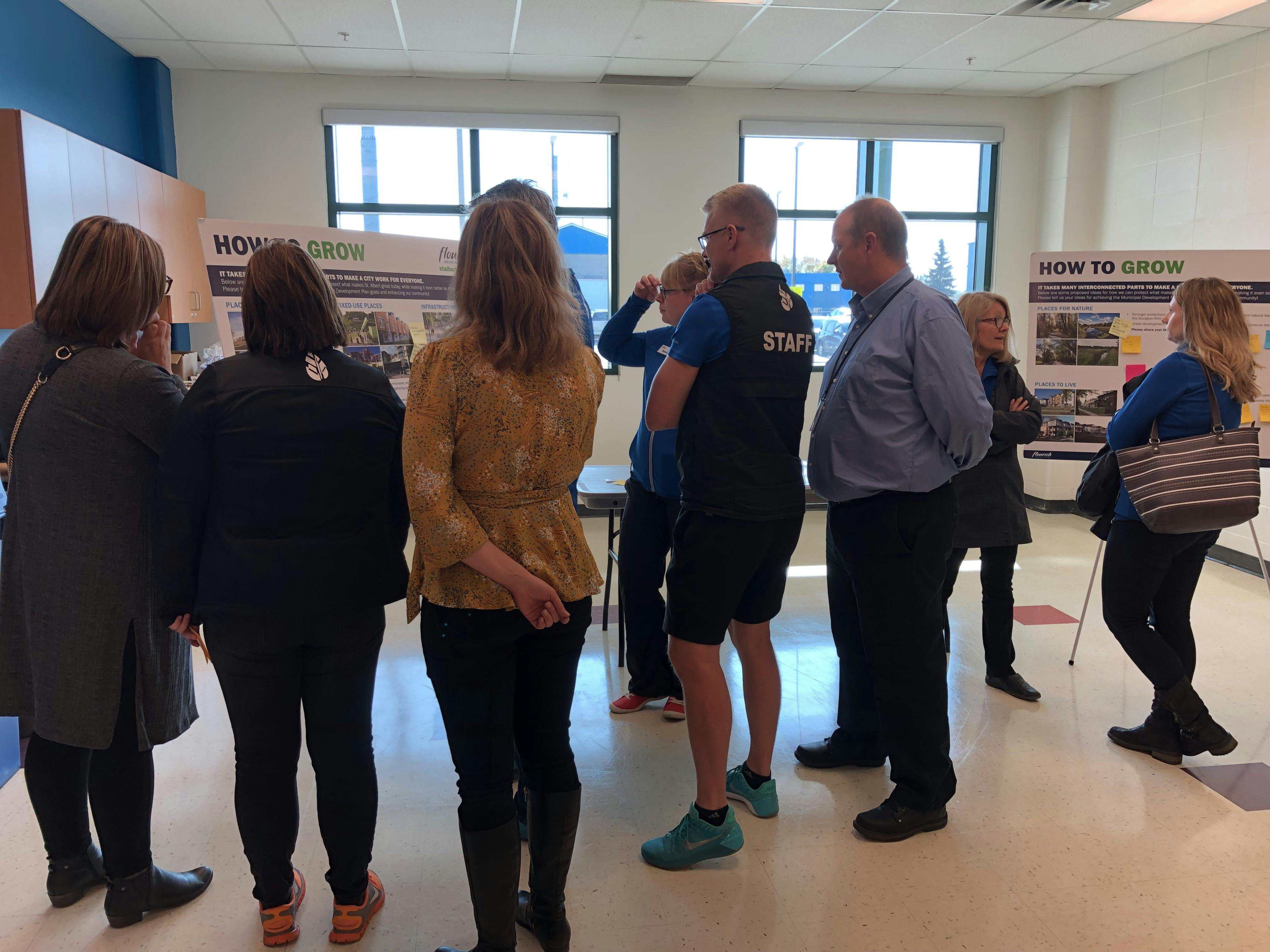
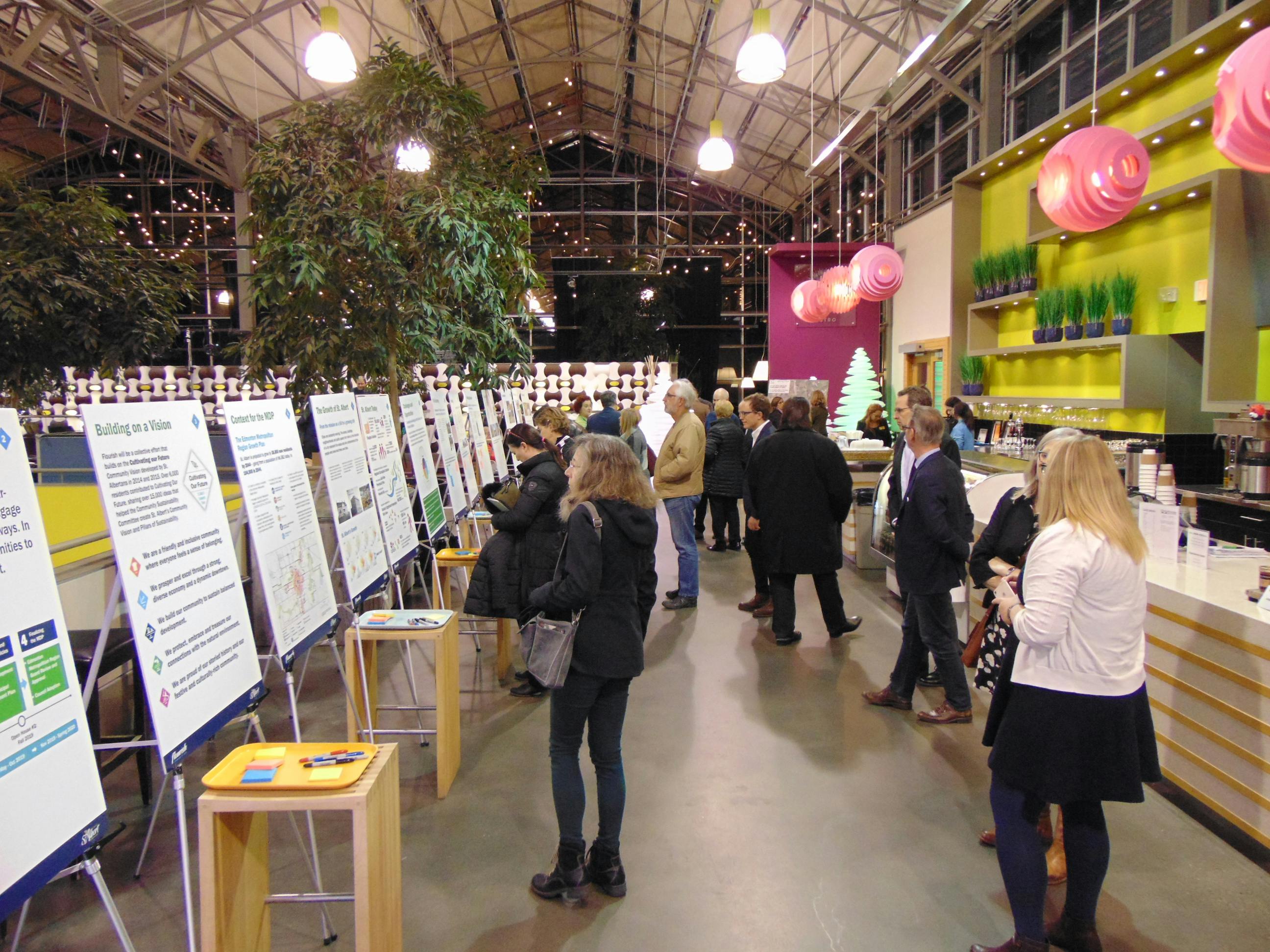
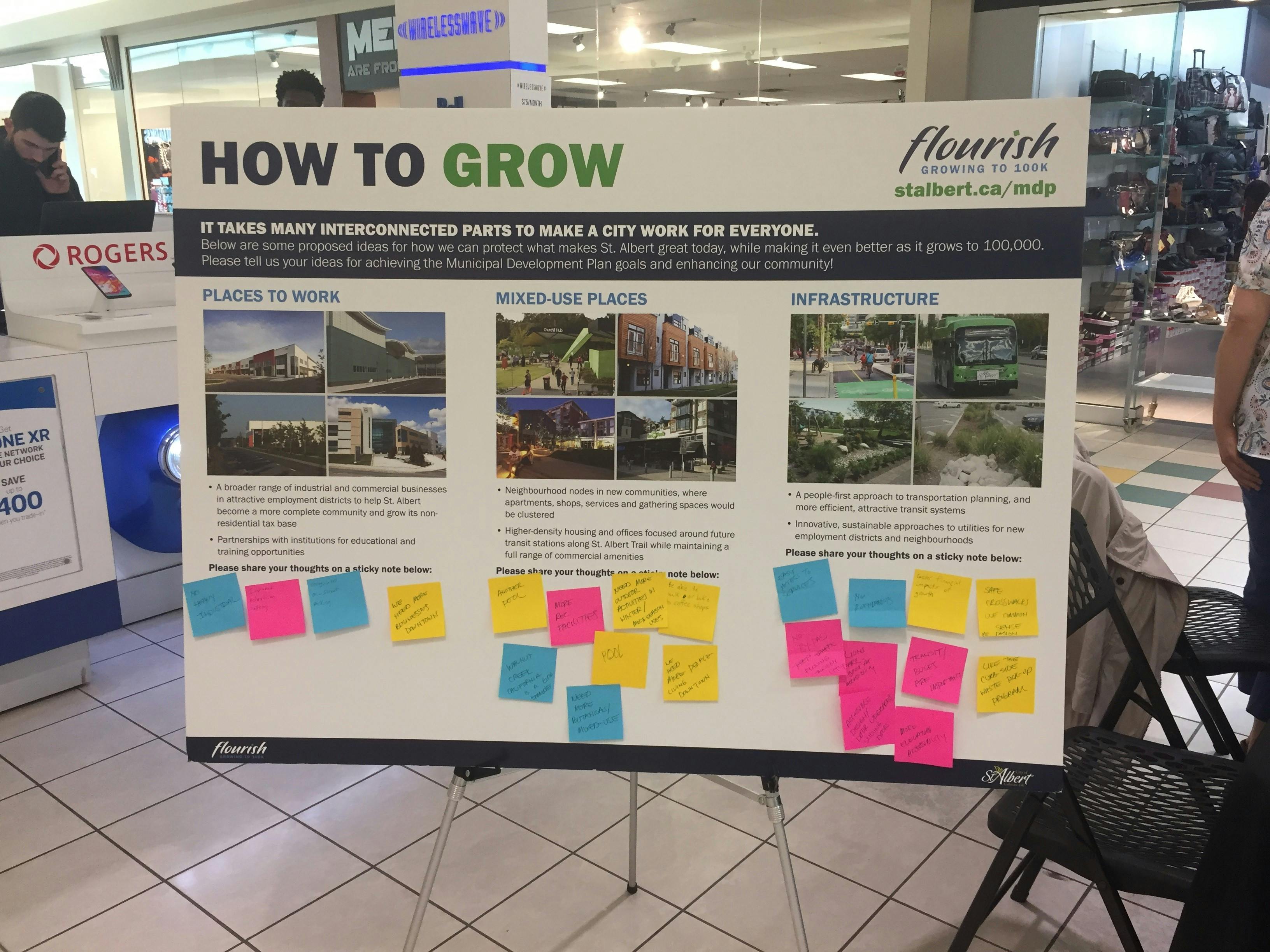
Flourish is the City of St. Albert’s new Municipal Development Plan (MDP). It is a comprehensive, city-wide plan for growth and change, envisioning a future population of 100,000 over the coming decades. Residents, property owners, businesses, community groups, and others can look to Flourish for changes they can expect in the years to come.
Flourish is a forward-thinking plan that lays the groundwork for a prosperous future. It reflects the passion, insight, and commitment of many residents and stakeholders who engaged with the City throughout its development. Thank you to all who have participated so far in shaping St. Albert’s future!
Thank you to all our participants. St. Albert City Council approved Flourish: Growing to 100K on April 19, 2021. For further info visit stalbert.ca/mdp
Have a question for the project team? Enter it here and we'll post a response within 2 to 3 business days.
Draft Flourish Plan
-
 Part 1: Plan Foundations
-
Part 2: Policies
-
 Green Environment (2.47 MB) (pdf)
-
Robust Economy (1.82 MB) (pdf)
-
Housing Options (1.06 MB) (pdf)
-
Mobility Choices (1.82 MB) (pdf)
-
Cultural Richness (1.96 MB) (pdf)
-
Resilient Infrastructure (1.73 MB) (pdf)
-
Community Well-Being (2.52 MB) (pdf)
-
Great Places (1.79 MB) (pdf)
-
Sustainable Growth (1.16 MB) (pdf)
-
Land Use and Development (1.63 MB) (pdf)
-
-
Part 3: Implementation
-
Part 4: Glossary and Maps


Video: Flourish Webinar - Nov. 17
Downloads
Who's Listening
-
Senior Long Range Planner
Email kmahoney@stalbert.ca -
Planner
Email jfry@stalbert.ca -
Planner
Email lfrancis@stalbert.ca -
Planner
Email ttsui@stalbert.ca